- Inicio
- Trabajos en curso
- UTAD’s PILOT EXPERIENCE
UTAD’s PILOT EXPERIENCE
LOCALIZACIÓN
| Country
District Province Champion Location Coordinates |
Portugal
Vila Real Vila Real Municipality Vila Nova (Baldio de Aveção do Cabo) 41º17’47 “N 7º53’53” W |
PROTECTION FIGURES
In accordance with the Resolution of Council of Ministers No. 142/97, of August 28, of the Natura 2000 classified as Site of Community Importance (Site Alvão / Marão PTCON0003). It is a total area of 58788 ha and is transversal to several municipalities.
Community Land (Badio) which is governed by Law No. 75/2017 (Regime applicable to vacant land and other community production means).

Área da Experiência Piloto (terreno)
SURFACE OF ACTION
In the delimited area, for the installation of the pilot experience, in the perimeter of the Baldio de Aveção do Cabo, two plots were defined (3 ha and 1 ha), respectively, for the combined and monitored practices of directed grazing and controlled fire. In spite of the fact that, in the terrain, there are roads and seats supporting the execution of controlled fire, two more containment strips must be opened to guarantee effective control of the burned. The grazing of the animals, will have a foreseeable heading of 2 equines and foals, will be guaranteed in the same plot (not burned) and supplemented with food supplement based on hay and eventual grazing in private Lameños near the plot of the pilot experience. All areas are delimited by fences.
BRIEF CHARACTERIZATION OF THE VEGETATION – SOILS – CLIMATE
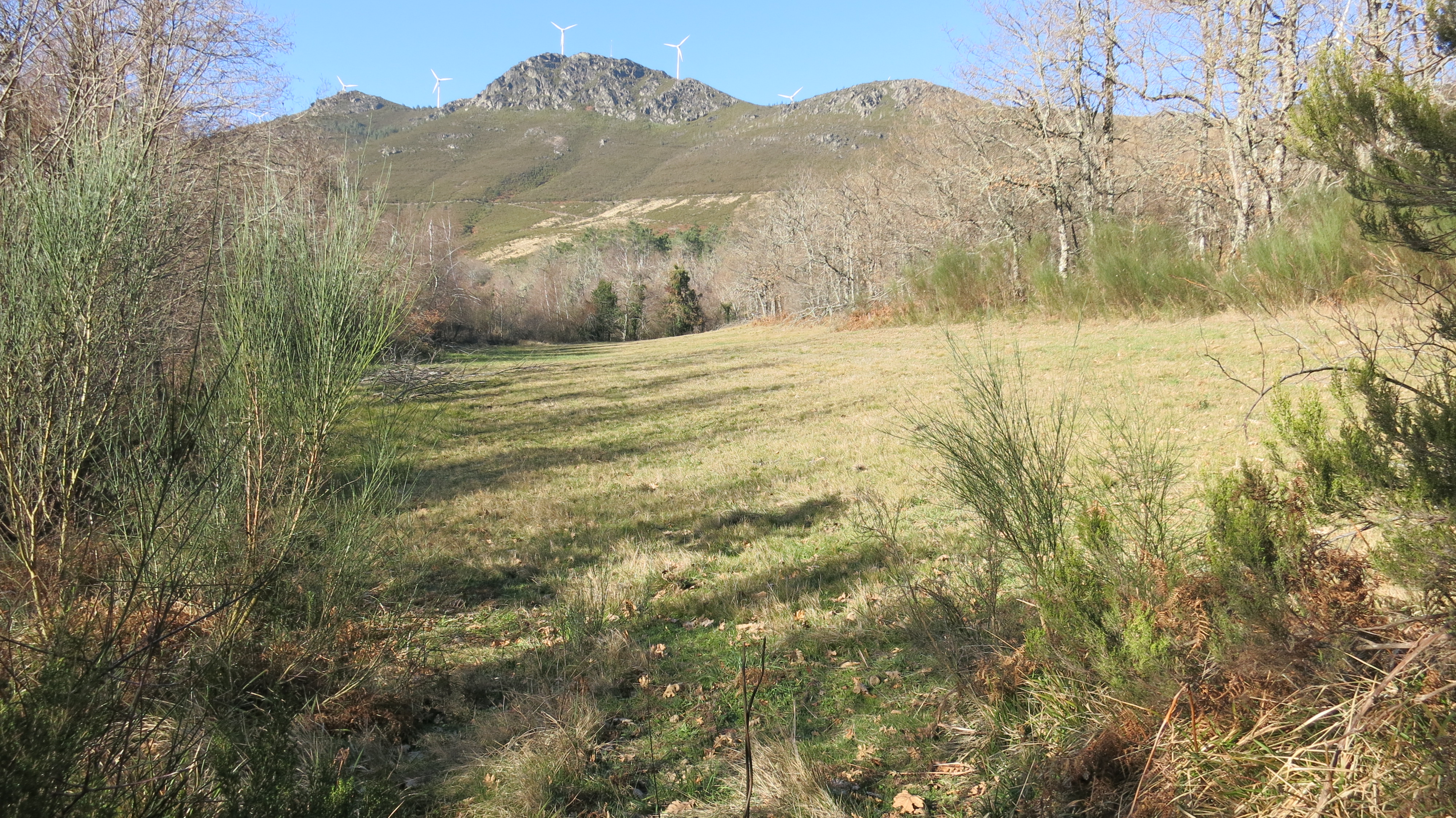
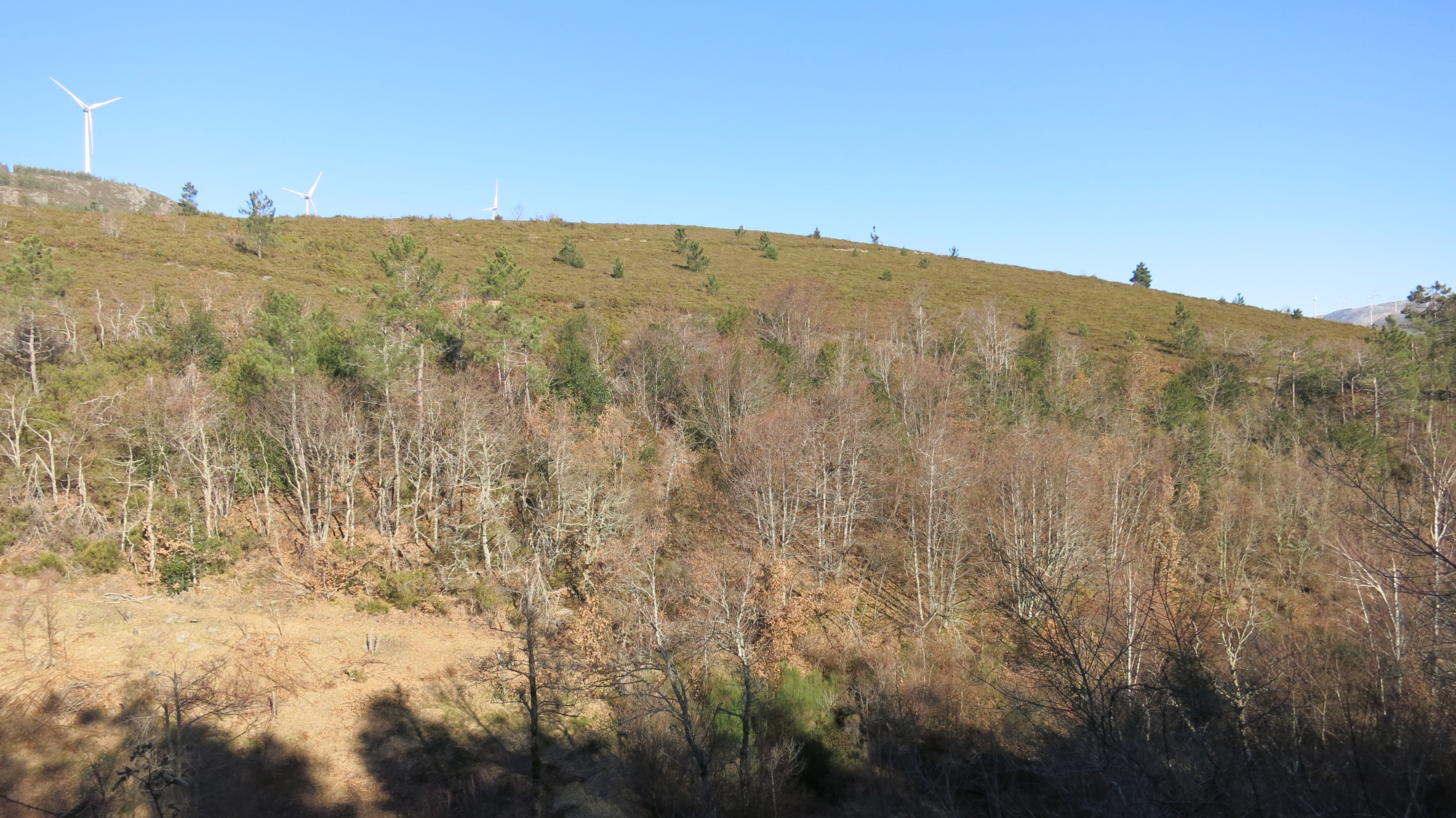
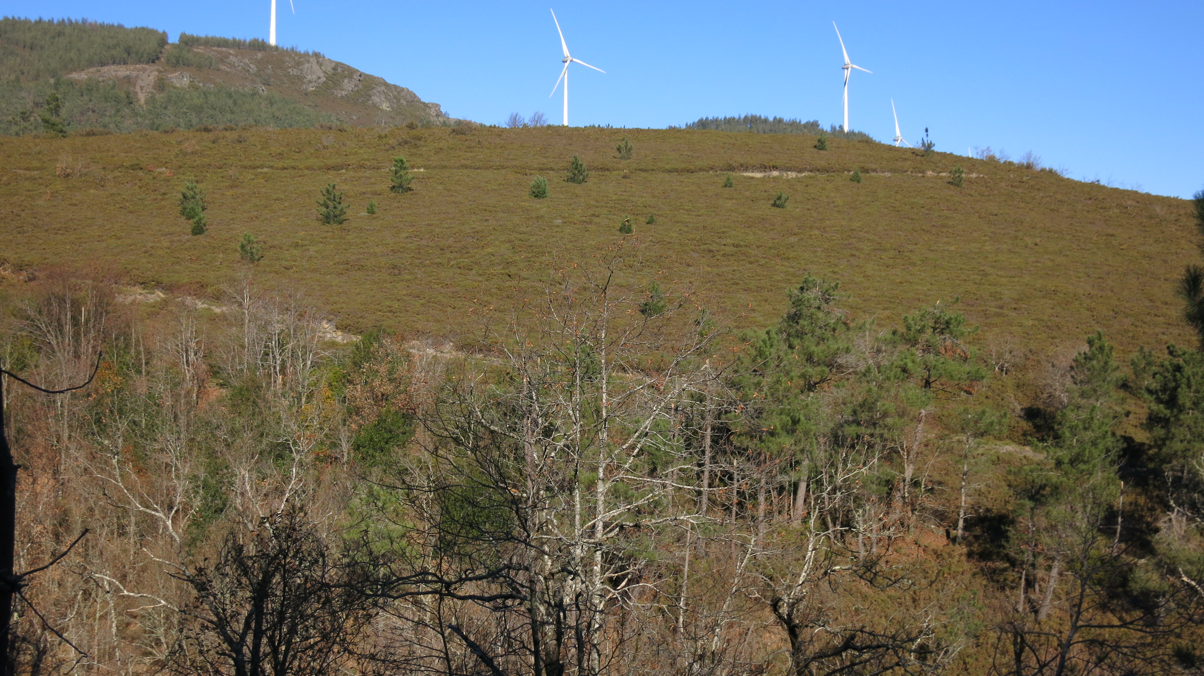
In a very generalized way, in the limited area for the implementation of the pilot experience, it is located 850 meters high, where shrubby species of Carqueja (Genista spp.), Urze (Erica spp., And Calluna spp.), Gorse predominate. (Ulex spp.) And sargaço (Halimium spp.) And some specimens of wild pine (Pinus pinaster) and oak (Quercus robur).
The annual average temperature registers values that are between 10º C and 12,5º C with an annual average precipitation between 1400 and 1600 mm. This zone is part of the subatlantic ecological zone.
The soils are humid, appear good depth (greater than 40 cm) and rich in organic matter. The geology presents sedimentary and metamorphic formations of the Cambrian and the Precambrian, of which schists and grauvacas (schist-grauvaquio complex) are characteristic.
ENVIRONMENTAL PROBLEM ASSOCIATED WITH THE PREDOMINANT SPECIES
In this region it is possible to find agroforestry spaces with different uses, each of them assuming a different role in the ordering and management of the territory. The richest agricultural and grazing areas are located at the foot of the mountain very close to residential buildings. With the increase of the altimetric quota, we verified that the forest settlements (pure and mixed) begin to occupy a more significant area. Interplaying these spaces, we have areas of Lameiros of medium altitude and that are often used for large animal pastures.
At the same time, it is also possible to start observing spaces occupied by high densities of scrub formed, above all, by carqueja, urje, ankle and genisteae. These are areas predominantly visited by small ruminants, in particular, goats.
Finally, in the highest altimetric quotas, the soil is scarce, the rock is visible to the surface, the arboreal presence is residual and the scrubland exists where the soil still allows its development. In the case of increasingly depopulated and aging rural communities, the natural spaces are progressively being abandoned, remaining at the mercy of the development of shrub species whose density and size evolve towards situations in which there is accumulation of high biomass and consequent load gas .
These are places with a high risk of fire, tend to be subject to the passage of high intensity fires that eventually reach forested areas and, in some cases, even housing and infrastructure to support livestock, causing great social, economic damage and environmental
USE OF CONTROLLED FIRE
The controlled fire technique used as a way to manage the development of plant biomass in forest areas (trees or not) and urban interfaces, reduces the costs associated with cleaning and maintenance operations. This has been used in Portugal and in the region where the pilot project area is located for more than a decade.
The area in question was never subject to this technique nor was it affected by any fire in the last 18 years, according to the records of the Institute for the Conservation of Nature and Forests (ICNF). This, in spite of the fact that the surrounding and practically annexed areas have been. In February 2019, it is expected that a controlled burn will be carried out in 4 ha in this space within the framework of the current project.
CENSUS OF HERBÍVOROS PASTANTES
According to local testimonies, this specific area was occupied by some pines and oaks. There are no records of the passage of fires, in that specific place, in the last 20 years, it is assumed that at some point it will have been reached by some. From that moment, the village shepherds (Aveção do Cabo) started to use it for the practice of grazing with cattle, sheep and goats, since it is a space close to the village, so it was chosen as a preferred destination for grazing. In the last 5-6 years, the area was no longer pastored and there is no record of the livestock that, however, usufruct and grazed this space.
LIVESTOCK INFRASTRUCTURES AND ACCESS
The area is accessible by the A4, leaving at junction 22 and following the EN 304 towards Campeã. Entering the village, you should take a secondary road to Alto de Espinho and exit towards a forest road. Near this area there are lameiros (seminatural meadows) of grazing that can be used by animals for the administration of supplements. Some water lines pass near the area defined for the pilot experience.


